
Yong Technology is a forward‑thinking provider of geotechnical software solutions, delivering practical, reliable, and cost‑effective tools for both industry professionals and academic users. The software programs currently available are listed below.
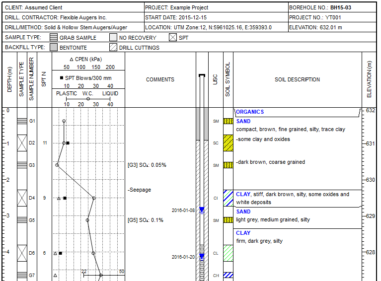
SoilStats is a free, highly flexible borehole‑log software designed for geotechnical, environmental, geological, and energy applications, offering powerful tools for project management, data integration, and 3D visualization. It features customizable templates built on SQLite and Python, supports local, intranet, and cloud databases such as SQLite, PostgreSQL, and SQL Server, and includes an interactive map viewer with Google Earth integration. SoilStats imports data from numerous formats, organizes plan views and cross‑sections for report‑ready output, and provides advanced export options including KMZ and DXF. It also supports 3D surface and geometry construction from XYZ data and offers a globally accessible interface with extensive multilingual support.
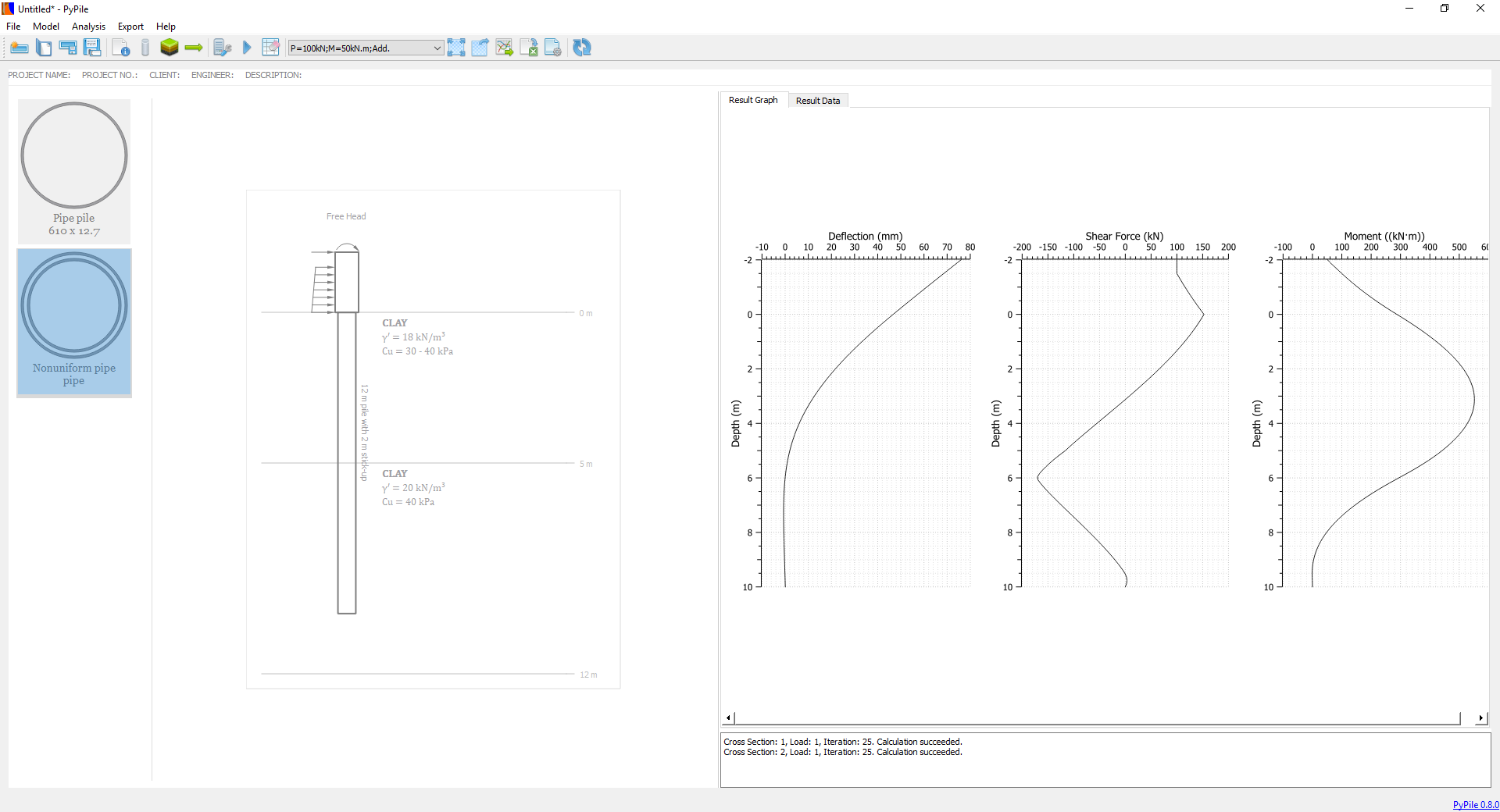
PyPile is a lateral pile analysis software that uses p‑y curves and the finite element method to evaluate pile deflection, bending moment, and shear force across multiple load cases and pile types. It supports both standard and custom pile cross sections, includes a wide range of soil models—from soft and stiff clays to sands, weak rock, c‑phi soils, and user‑defined p‑y curves—and allows flexible boundary conditions at any depth. Loads such as concentrated forces, moments, and distributed pressures can be applied anywhere along the pile, with nonlinear bending stiffness fully integrated. PyPile has been rigorously validated through extensive user applications and benchmarking against commercial programs.
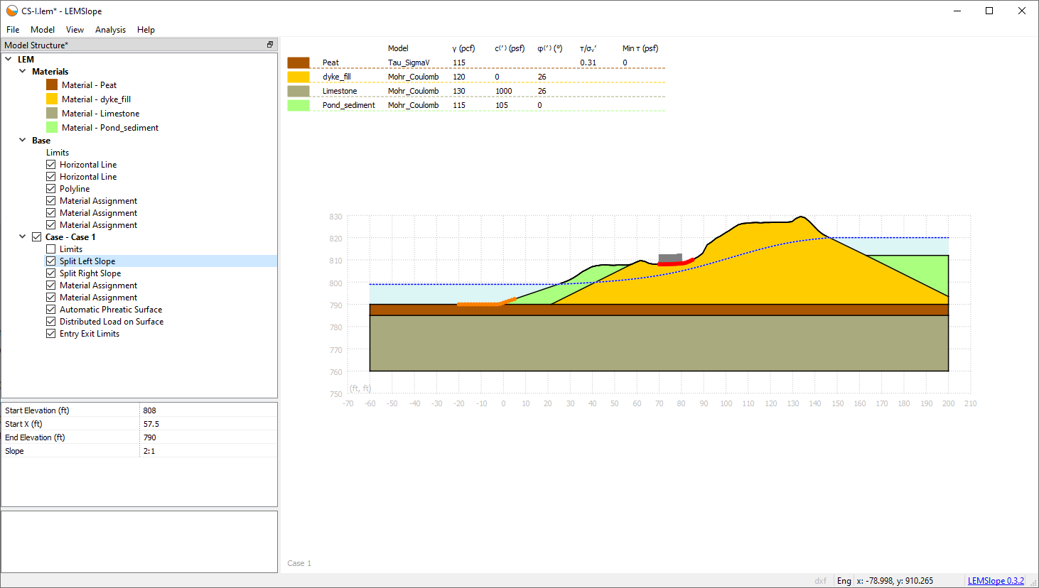
LEMSlope is a slope stability analysis program using traditional limit equilibrium method with slices. It takes advantage of the strength of Python script language and is able to sets up the analysis model parametrically. Python provides LEMSlope great flexibility and extensibility. Additional calculation and parameter control can be readily incorporated in the script.
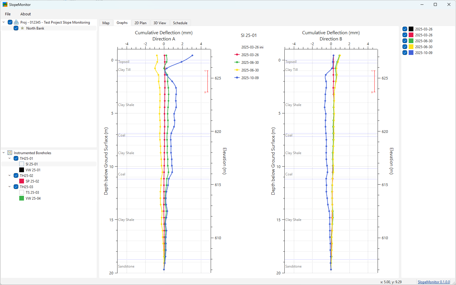
SlopeMonitor is a specialized geotechnical data management and visualization platform designed for large-scale slope monitoring programs, integrating projects, borehole datasets, and instrumentation data within a centralized database. It provides geospatial mapping for rapid site navigation, supports industry-standard inclinometer formats—including GTilt, RST Instruments, GEOKON, and Encardio Rite—and allows custom Python-based import modules for any data source. The software processes groundwater and temperature instrumentation data, offers detailed 2D site plans and immersive 3D views with soil layers and displacement visualizations, and can export 3D boreholes and inclinometer data to Google Earth.
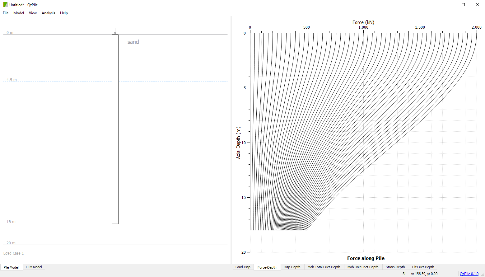
QzPile is an axial pile analysis software program. Load transfer mechanism and finite element method are used to estimate pile movement, pile stress under axial loads. QzPile can be used to simulate traditional static pile load test and bidirectional pile load test. It can also be used to estimate pile responses under downdrag and adfreeze load.
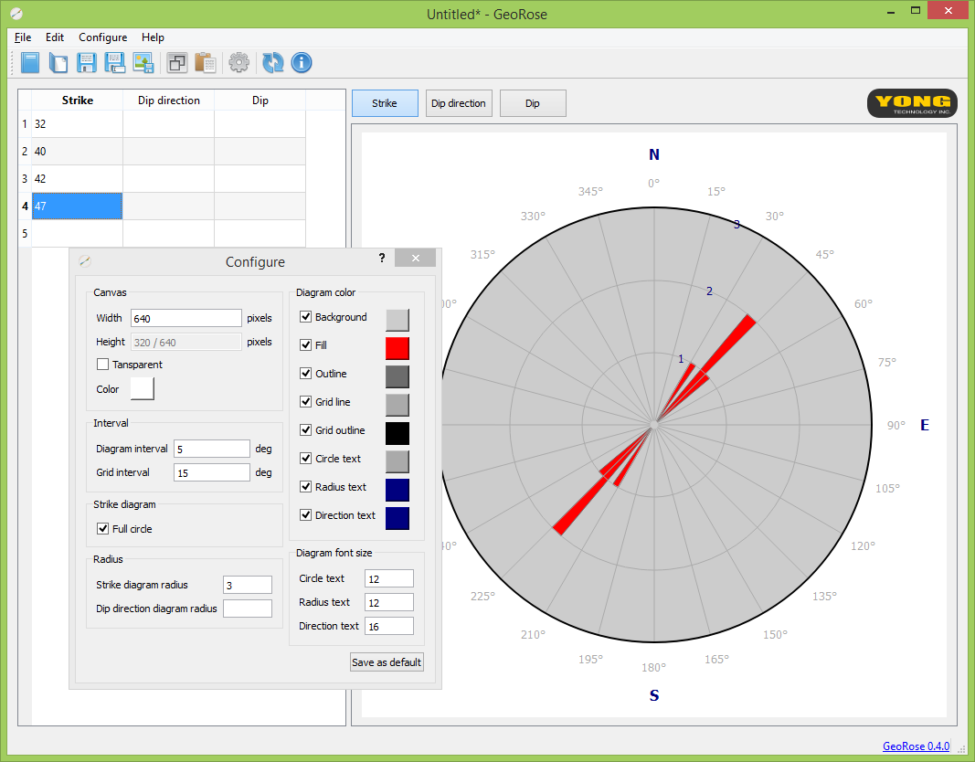
GeoRose is a rose diagram and stereonet plotting program, which can plot structural geology rose diagram, equal area and equal angle stereonet diagram.
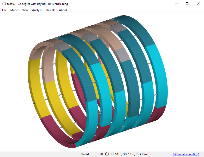
BSTunnelLining is a segmental tunnel lining analysis software that models segments, joints, and surrounding ground using beam‑spring finite elements, enabling multi‑ring tunnel lining analysis under both distributed and concentrated loads with 2D and 3D visualization. It includes built‑in longitudinal coupled joint springs, circumferential point‑point and line‑line springs, and ground normal and tangential springs, all of which can be customized through JavaScript to support nonlinear behavior. The program uses distributed springs along full beam lengths and supports compression‑only ground springs. It outputs comprehensive results—including moments, axial forces, shear forces, deformations, ground reactions, and joint responses—in graph and table formats.
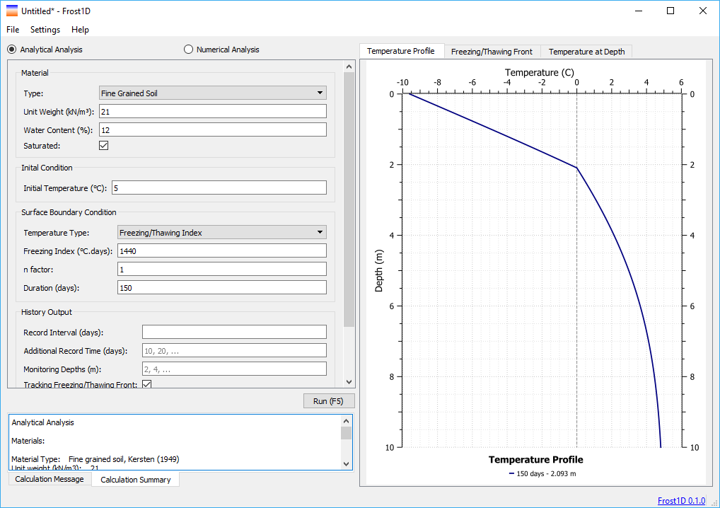
Frost1D is a one dimensional ground frost penetration analysis program. It is able to analyze multi-layered material with various temperature boundaries, convective boundaries and heat flux boundaries.